
Spectral reflectance is key to understanding how Earth’s surface interacts with sunlight, which influences climate patterns. Satellites track changes in surface reflectivity, like melting ice or deforestation, that affect the planet’s energy balance. When surfaces become darker, they absorb more heat, accelerating warming in a feedback loop. By monitoring these shifts, scientists improve climate models and predict future changes. Continue exploring to discover how this data shapes our understanding of climate dynamics and responses.
Key Takeaways
- Spectral reflectance reveals how Earth’s surfaces reflect sunlight, influencing energy balance and climate change insights.
- Variations in surface albedo, such as ice melt, affect Earth’s temperature regulation through feedback loops.
- Satellite sensors measure spectral reflectance to monitor surface changes like deforestation and melting ice in real time.
- Analyzing spectral data helps quantify surface impacts on Earth’s energy budget and enhances climate modeling accuracy.
- Continuous monitoring of spectral reflectance is essential for understanding climate dynamics and guiding environmental policy.

Have you ever wondered how scientists determine the Earth’s temperature and climate changes? It might seem complicated, but a key method involves studying spectral reflectance. This term refers to how different surfaces on Earth reflect sunlight across various wavelengths. By analyzing these reflections, scientists gain insights into the planet’s energy balance and how it’s shifting over time. One essential factor they examine is albedo variations, which describe how much sunlight a surface reflects. For example, snow-covered areas have high albedo, reflecting most sunlight, while forests or oceans have low albedo, absorbing more energy. Changes in these surface properties directly influence global temperatures and climate patterns.
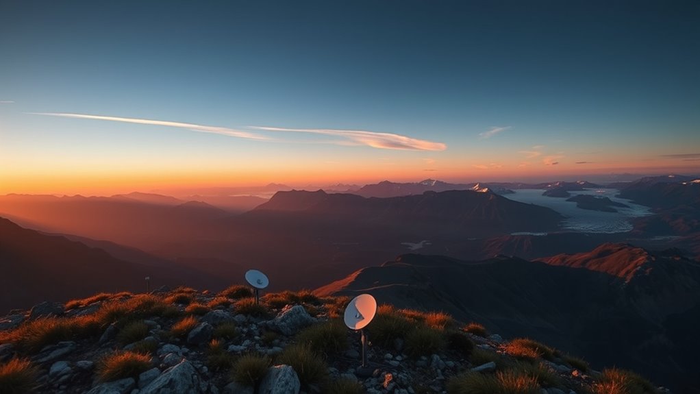
To monitor these albedo variations accurately, scientists rely heavily on satellite measurement. Satellites orbiting Earth are equipped with sensors that capture spectral reflectance data across different wavelengths. These sensors provide a thorough, real-time view of Earth’s surface, allowing scientists to track how albedo changes seasonally, annually, or due to human activity. Satellite measurements enable the detection of subtle shifts, such as melting ice caps or deforestation, which might be difficult to observe from the ground alone. Because satellites cover vast areas quickly and repeatedly, they offer a dependable way to monitor the planet’s surface and its reflectance properties over time. satellite measurement plays a crucial role in providing high-resolution data that supports climate research.
This data helps scientists understand the feedback loops that accelerate climate change. For example, when ice melts, the exposed darker land or water surfaces have lower albedo, meaning they absorb more sunlight, which raises local and global temperatures. These temperature increases can then lead to further ice melt, creating a vicious cycle. Satellite measurement of spectral reflectance allows researchers to quantify these changes precisely and assess their impact on the Earth’s energy budget. By comparing data collected over decades, scientists can identify trends and project future climate scenarios with greater confidence.
Furthermore, understanding albedo variations through satellite measurement helps refine climate models. These models predict how different factors contribute to warming or cooling, guiding policy decisions and mitigation efforts. Without accurate, continuous data on spectral reflectance, our understanding of the Earth’s climate system would be incomplete. Satellite technology provides the critical link between surface changes and their broader climate implications. So, as you consider the complexity of climate science, remember that satellite measurement of spectral reflectance and monitoring of albedo variations are fundamental tools that reveal how our planet’s surface interacts with sunlight, driving climate dynamics and shaping the future of our environment.

Aqara Thread/Zigbee Smart Climate Sensor W100,Temperature and Humidity Monitoring,Wireless Remote HVAC Control, 3 Customizable Smart Buttons,Works with HomeKit, Alexa, Google & More
[Matter Compatibility with Zigbee & Thread] The W100 supports both Zigbee and Thread protocols, ensuring seamless integration with…
As an affiliate, we earn on qualifying purchases.
As an affiliate, we earn on qualifying purchases.
Frequently Asked Questions
How Does Spectral Reflectance Vary Across Different Planetary Atmospheres?
You’ll notice spectral reflectance varies across planetary atmospheres because of differences in atmospheric composition and planetary albedo. For example, planets with thick, reflective clouds or icy surfaces have higher reflectance, while those with dense, absorbing gases like CO₂ have lower reflectance. These variations influence how much sunlight is reflected back into space, affecting climate and temperature. So, understanding spectral reflectance helps you grasp a planet’s energy balance.
Can Spectral Reflectance Data Predict Future Climate Change Impacts?
Yes, spectral reflectance data can help predict future climate change impacts. By applying machine learning techniques, you can analyze complex patterns and trends in reflectance data over time. Integrating diverse data sources enhances the accuracy of these predictions. This approach allows you to identify potential climate shifts, assess risks, and develop more informed strategies to mitigate future impacts effectively.
What Are the Limitations of Current Spectral Reflectance Measurement Technologies?
The limitations of current spectral reflectance measurement technologies are like a fog that obscures clarity. You face challenges with sensor calibration, which affects accuracy, and data resolution, which can miss subtle details. These issues hinder precise analysis and limit your ability to track small changes over time. As technology advances, overcoming these hurdles will help you gain clearer insights into Earth’s surface properties, fueling better climate understanding.
How Do Land Use Changes Affect Spectral Reflectance Patterns Globally?
Land use changes like urban expansion and deforestation considerably alter spectral reflectance patterns worldwide. When you clear forests or develop urban areas, the surface reflectance shifts, typically increasing in brightness due to concrete and asphalt or decreasing with vegetation loss. These changes impact how satellites detect Earth’s surface, making it essential to monitor land use impacts for accurate climate and environmental assessments.
Are There Emerging Methods to Improve Spectral Reflectance Accuracy in Climate Models?
Imagine calibrating a prism to sharpen your view of Earth’s colors; new methods like hyperspectral calibration and advanced reflectance modeling are making this possible. These emerging techniques enhance accuracy by capturing detailed spectral data and refining models to better simulate natural reflectance patterns. As a result, your climate models become more precise, revealing subtle changes in Earth’s surface and atmosphere that were previously hidden, helping you understand and predict climate impacts more confidently.

Handheld Spectrophotometer LS176 D/8° Color Analysis APP Software Whiteness and Yellowness Spectral Reflectance Curves Accurate Measurement
1. The Handheld Spectrophotometer LS176 utilizes a universal D/8 illumination method
As an affiliate, we earn on qualifying purchases.
As an affiliate, we earn on qualifying purchases.
Conclusion
By understanding spectral reflectance, you gently uncover the subtle ways Earth’s surface whispers its secrets to us. Recognizing these delicate signals allows you to appreciate the intricate balance of our climate system, even amid uncertainties. While challenges remain, your awareness fosters a quiet hope that, through careful observation and respect for nature’s nuances, you can contribute to a more harmonious future. Embrace these quiet lessons, for they hold the potential to guide us gently toward sustainability.
Introduction to Modern Climate Change
As an affiliate, we earn on qualifying purchases.
As an affiliate, we earn on qualifying purchases.

Geographical Data Science and Spatial Data Analysis: An Introduction in R (Spatial Analytics and GIS)
As an affiliate, we earn on qualifying purchases.
As an affiliate, we earn on qualifying purchases.